Category: Other Google Maps
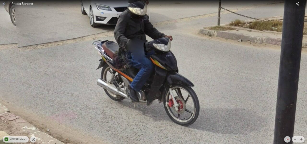
Motorcyclist with motorcycle headlight face
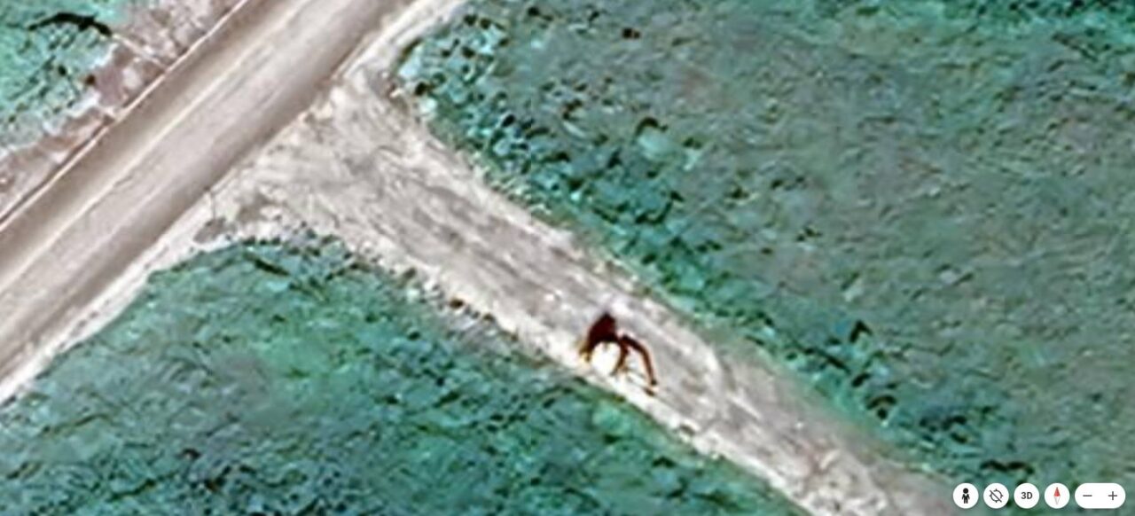
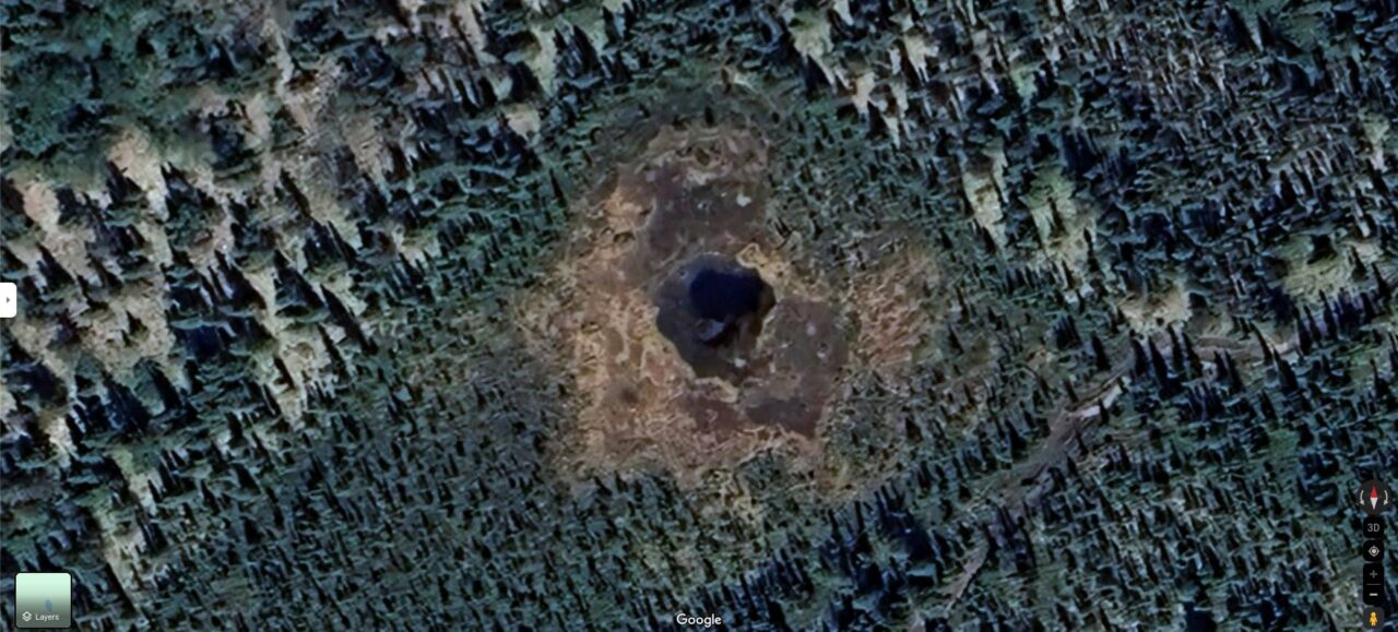
Giant spider?
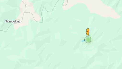
Google Street View in North Korea?
Releasing the pegman or clicking on the blue line in Street View, nothing happens. Probably a Google error or an attempt to take images at the location, but which ended up being discarded by Google.
Mini pond with a box submerged in water
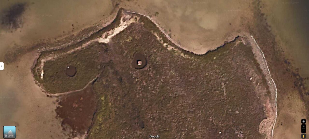
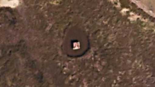
The box appears to have a photo of a lady printed on it, but for unknown reasons, it remains there. Is it a work of art or a tribute?
Link
Woman but only a head
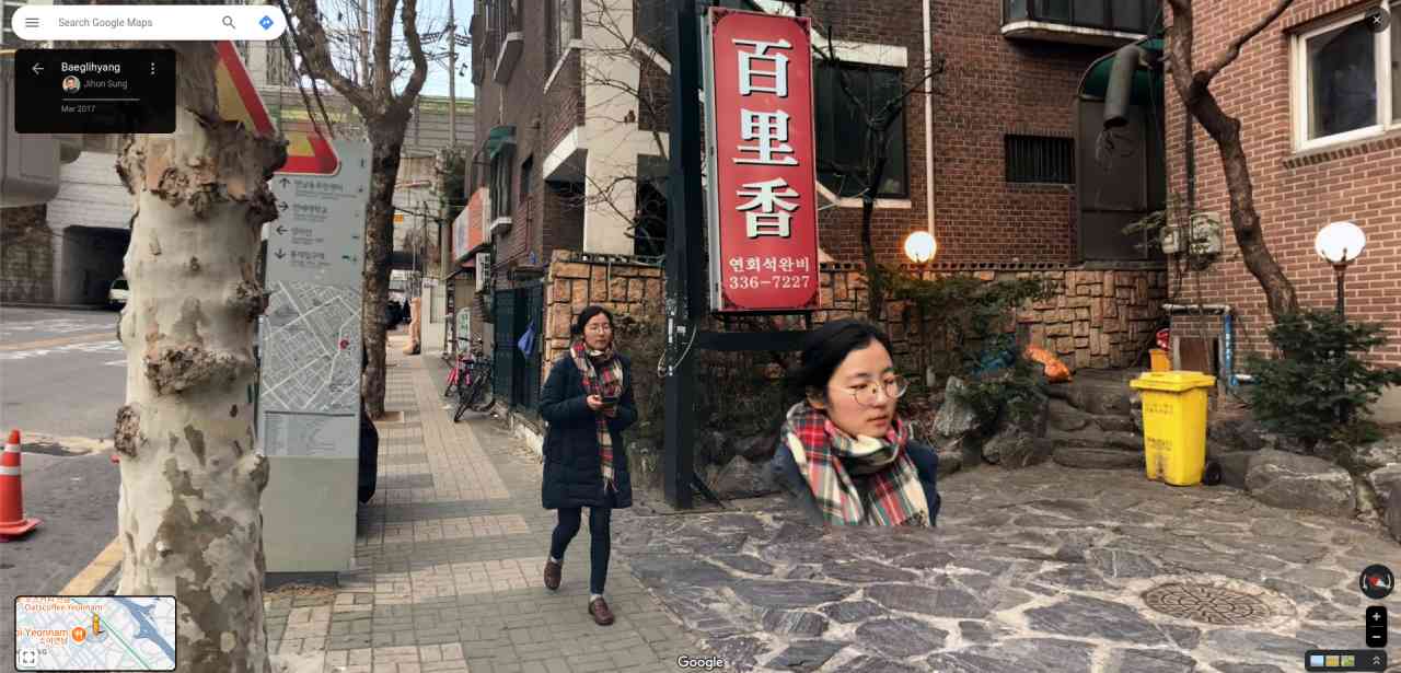
Link (thanks kalmarle)
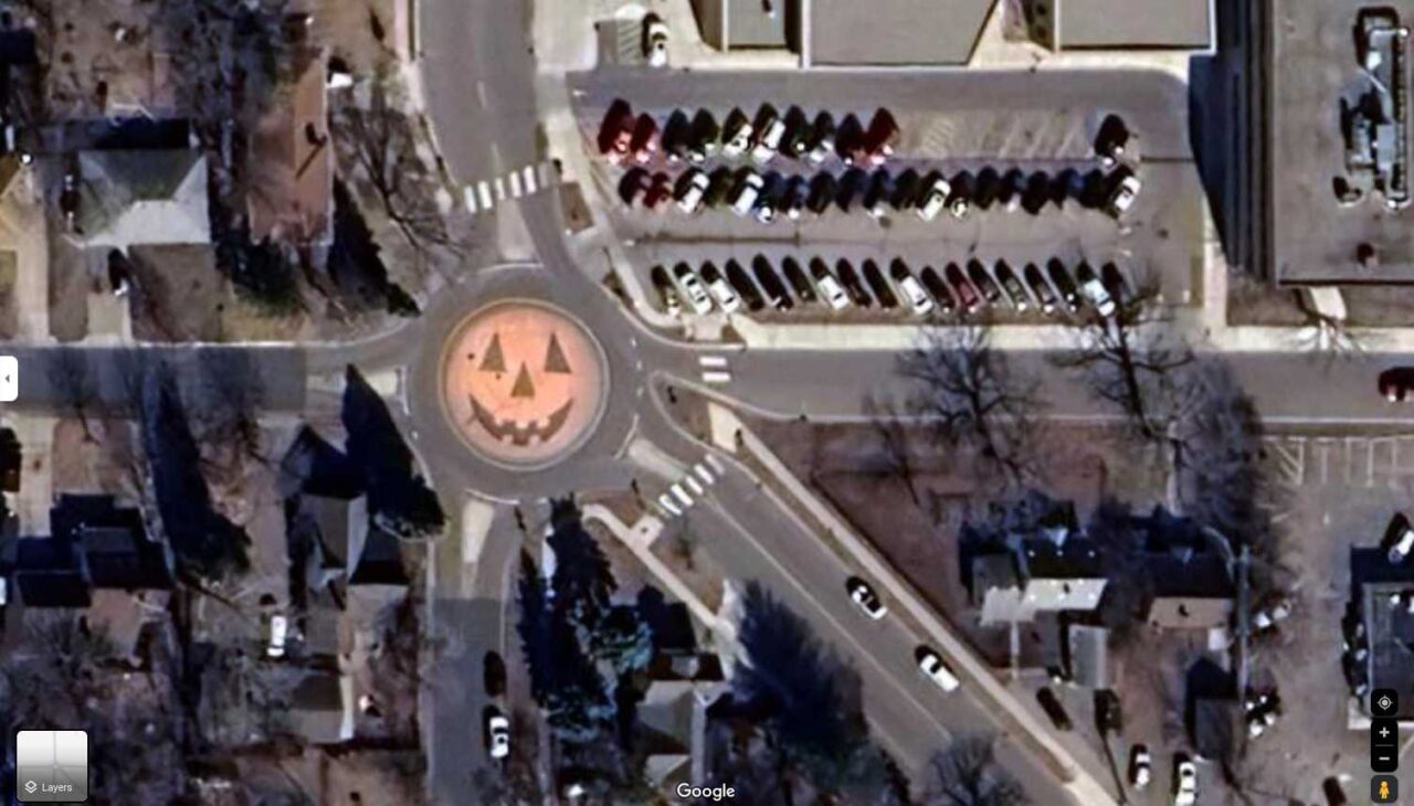
Halloween Special: scary pumpkin 🎃
What is your priority?
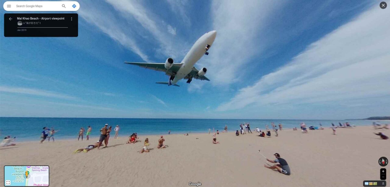
Plane landing at Phuket International Airport
Alleged secret ice door found in Antarctica on Google Maps
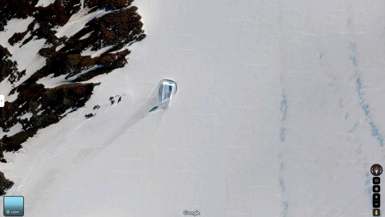
And as always, another curious image is found on Google Maps, but very different: a “secret door” was found in Antarctica by Google Maps users!
This information appeared on a Reddit profile that published this image and after that, it stirred the imagination of all internet users. Located southeast of Showa Station, monitored by Japan, the structure recorded via satellite is a rectangular block of ice, whose effect on the accumulation of snow generates a curious trail. Posted on forums dedicated to conspiracies, the find gained fame as being a secret door to something, perhaps “alien”. Source
What is the solution to this mystery?
Evidence that it’s just ice isn’t hard to find — Just northwest of the supposed icy threshold, other similar blocks of ice can be seen, making the same pattern of snow and shadows as their famous sibling.
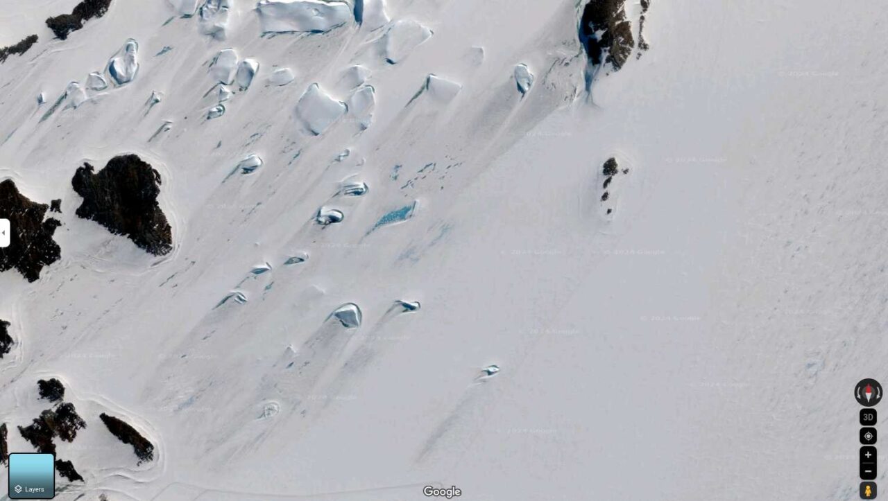
After looking at the coordinates on Google Earth Pro and looking at historical imagery, Bethan Davies, a professor of glaciology at Newcastle University, told the publication that the mysterious door “is in an area of fast sea ice… close to the coast” that is dotted with “a series of islands” where there is shallow water.“This is an iceberg that has become grounded and is now stuck and melting [in place],” Davies explained. “You can see many other icebergs in the area.”Professor Martin Siegert, co-director of the Grantham Institute on Climate Change and the Environment at Imperial College London, agreed with Davies, telling the outlet: “This is simply an ice flow around a solid subglacial obstacle, influenced also by melting and refreezing of the ice and by katabatic winds. Source NY Post
Among the theories that this poet is some kind of extraterrestrial, the most likely is that she is just a block of ice – and nothing more 😉

