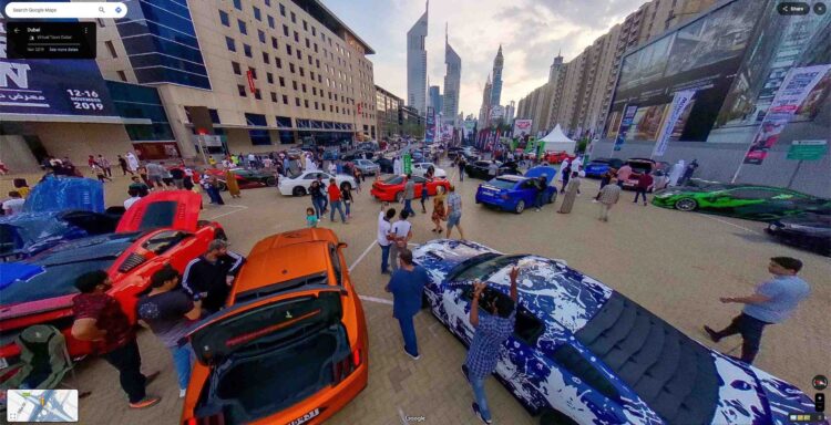
Participate in a car meet Photo Sphere UAE March 18, 2025March 15, 2025 by Guest Post Guest Post · Reply Link
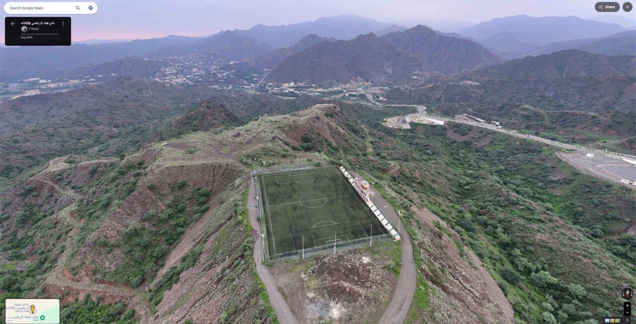
Soccer stadium in the mountains Photo Sphere Saudi Arabia March 11, 2025March 9, 2025 by StreetViewFun.com StreetViewFun.com · Reply Link
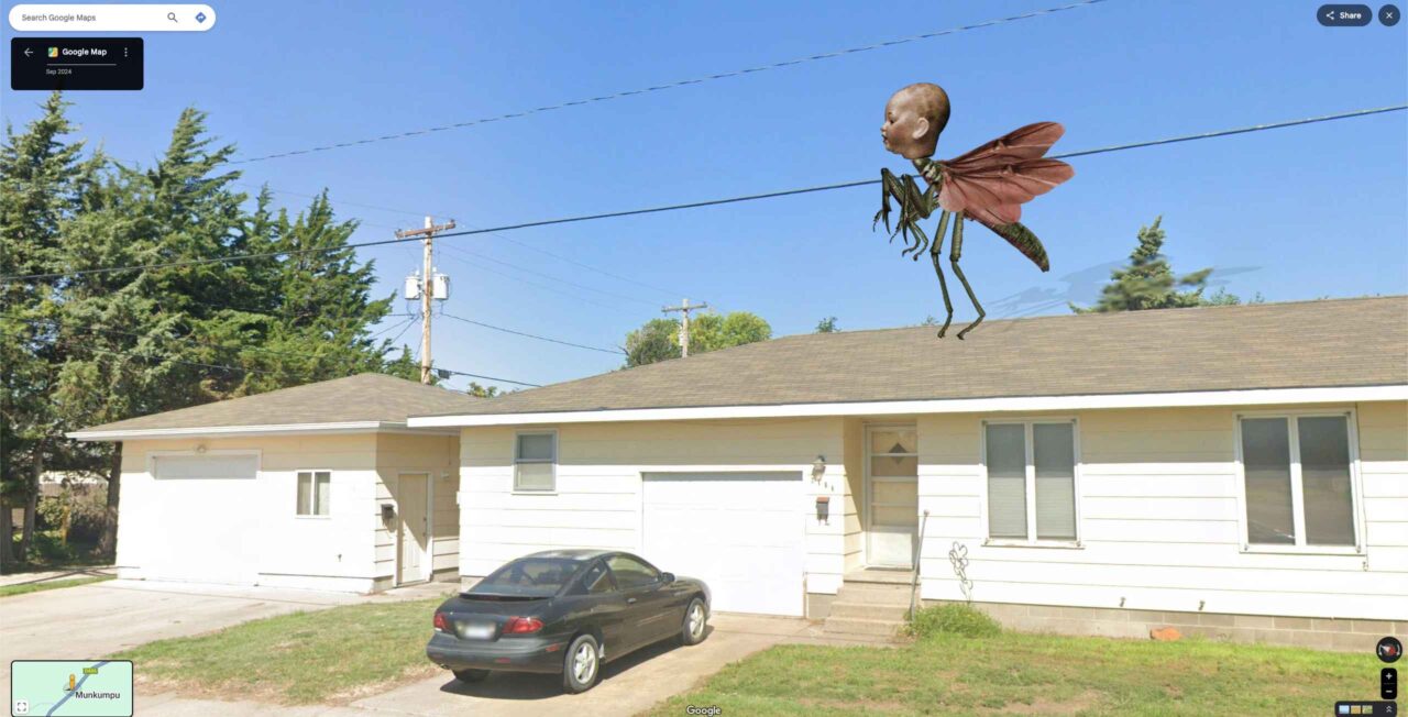
Scary stuff Photo Sphere Zambia March 11, 2025March 9, 2025 by StreetViewFun.com StreetViewFun.com · Reply Link
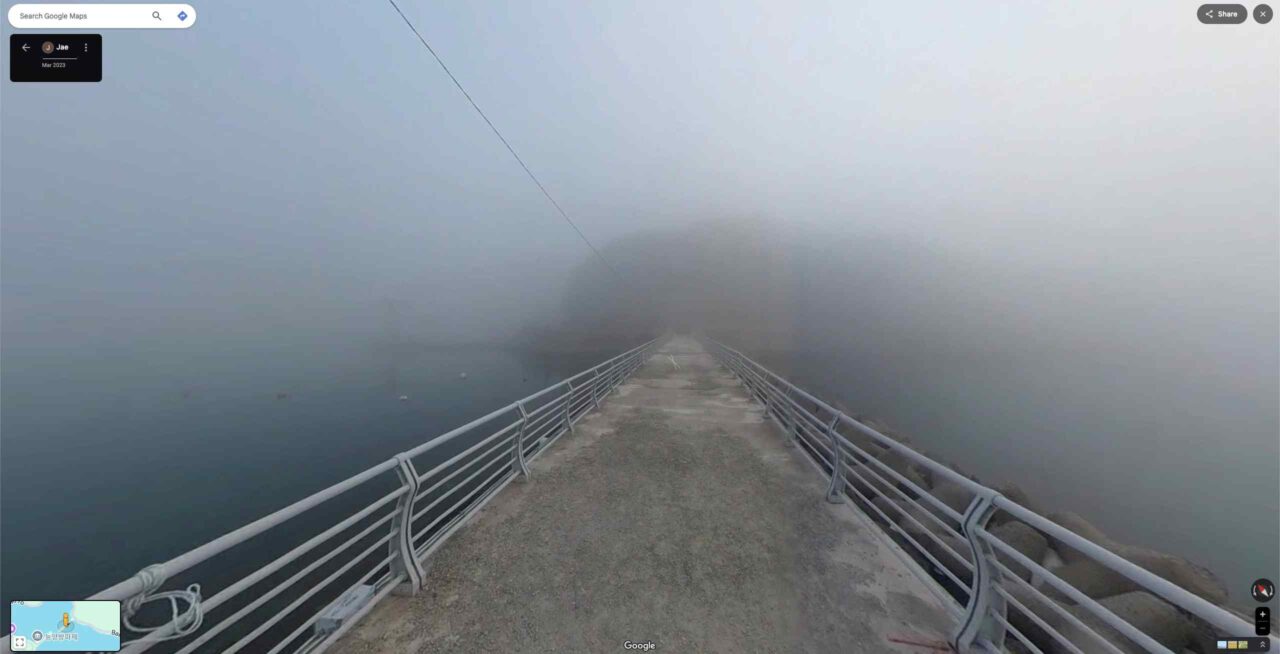
Foggy Photo Sphere South Korea March 7, 2025March 6, 2025 by Guest Post Guest Post · Reply Link (thanks kalmarle)
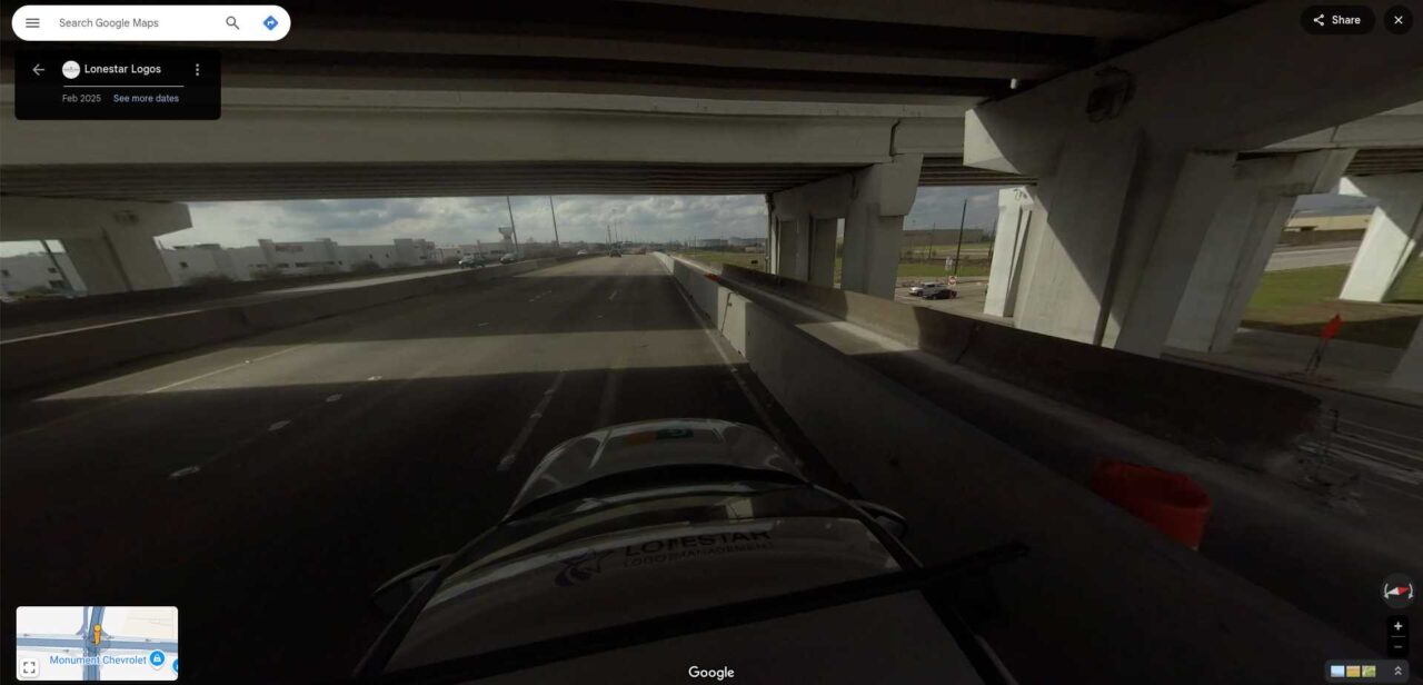
Very new photosphere Photo Sphere USA March 4, 2025March 1, 2025 by Guest Post Guest Post · Reply The photosphere date is February 2025. Link (thanks kalmarle)
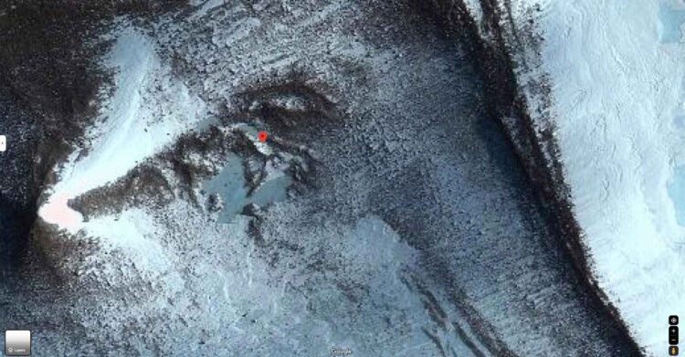
Abandoned jet? Airplane Antarctica Satellite images Strange things February 28, 2025February 23, 2025 by Bruno 902 Bruno 902 · Reply Link
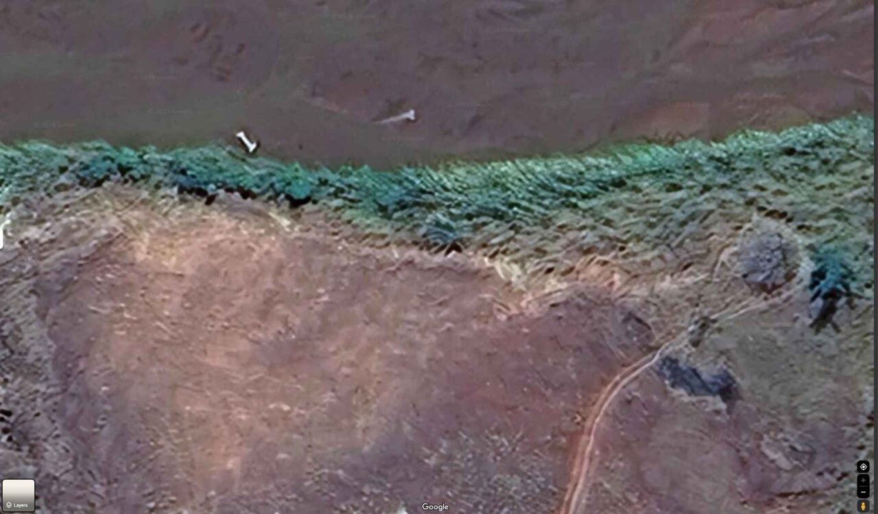
Dinosaur bone? Madagascar Satellite images February 27, 2025February 23, 2025 by Bruno 902 Bruno 902 · Reply Link
Bad mood/Good mood Photo Sphere South Korea February 23, 2025February 17, 2025 by Guest Post Guest Post · Reply Link (thanks kalmarle)
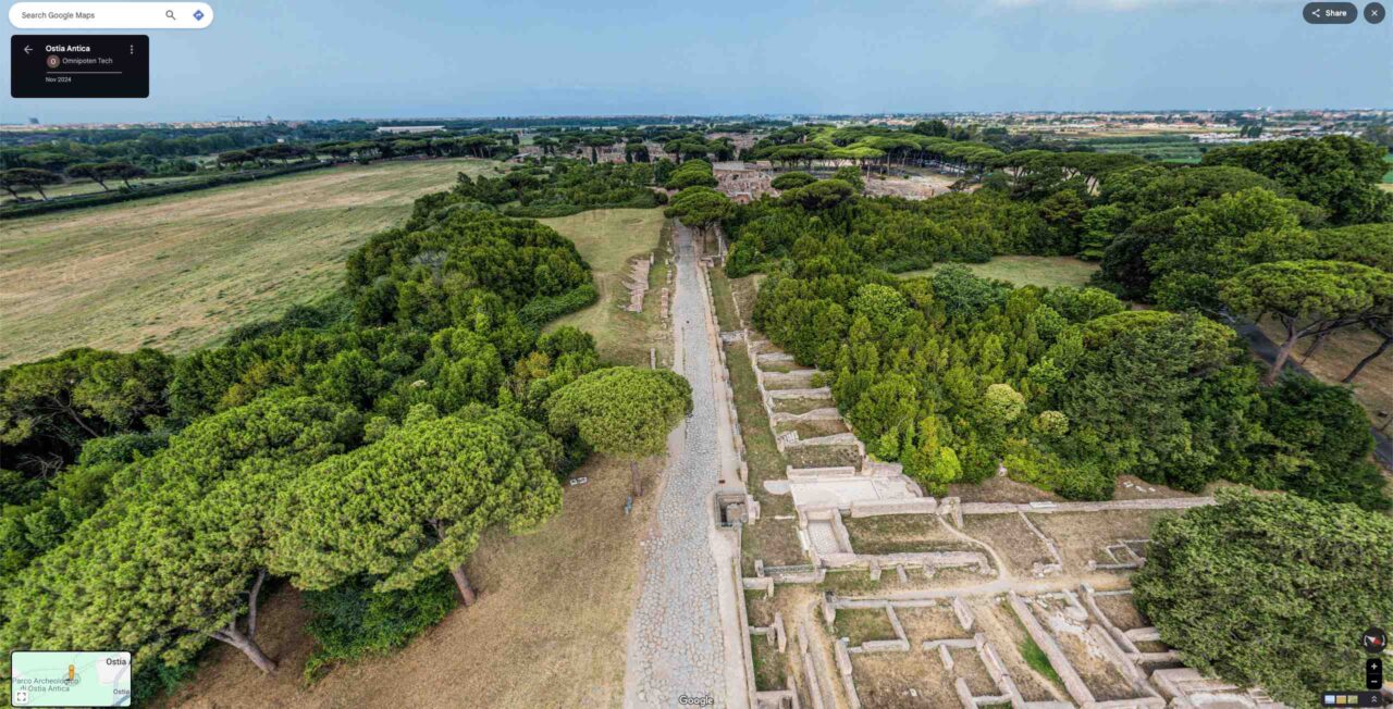
Google “Aeroview” Italy Photo Sphere February 22, 2025February 17, 2025 by Bruno 902 Bruno 902 · Reply Link
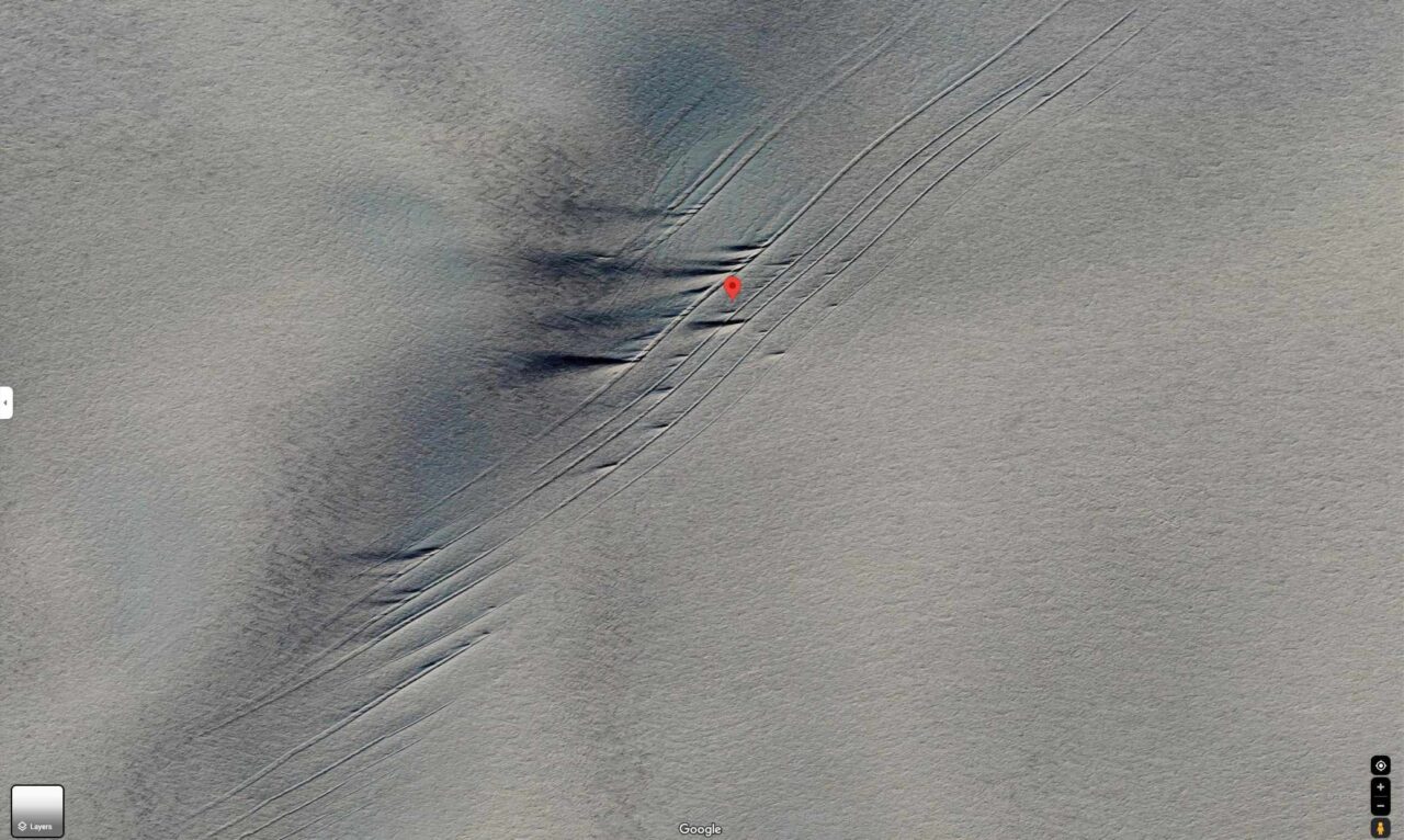
Strange line formation in Antarctica Antarctica Satellite images Strange things February 19, 2025February 19, 2025 by Bruno 902 Bruno 902 · Reply Link