What is that thing in this image? Satellite images Strange things USA October 2, 2024October 2, 2024 by Bruno 902 Bruno 902 · Reply Link Google Earth
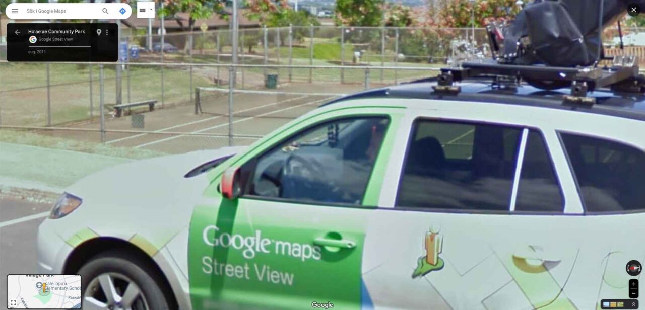
Google employee sitting inside Google car Google crew, car etc USA October 2, 2024October 2, 2024 by Bruno 902 Bruno 902 · Reply Link
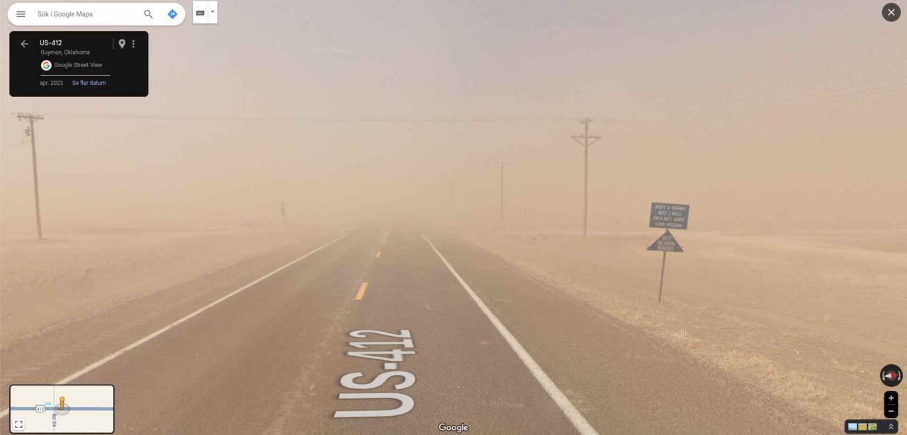
Sandstorm in Guymon, Oklahoma USA October 1, 2024September 30, 2024 by Bruno 902 Bruno 902 · Reply Link
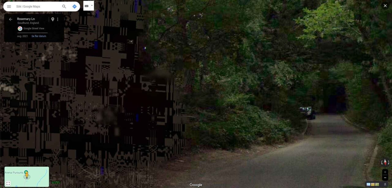
Glitch in the Matrix? Cam errors UK October 1, 2024September 30, 2024 by Bruno 902 Bruno 902 · Reply Link
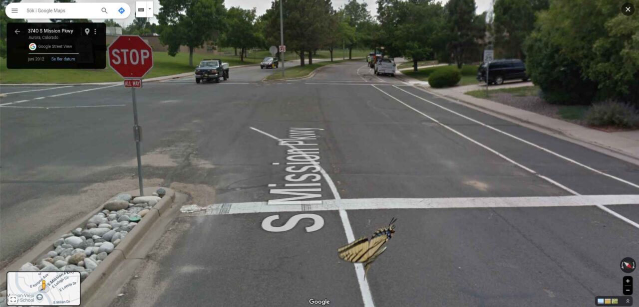
Butterfly in Aurora, Colorado 🦋 Animals USA October 1, 2024September 30, 2024 by Bruno 902 Bruno 902 · Reply Link
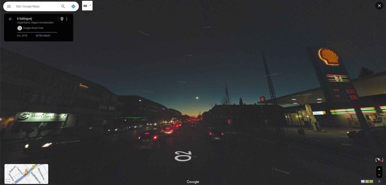
Night in Copenhagen, Denmark Denmark October 1, 2024September 30, 2024 by Bruno 902 Bruno 902 · Reply Link
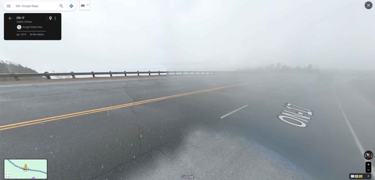
Google Maps takes photos at the exact moment it starts to snow Canada September 30, 2024September 30, 2024 by Bruno 902 Bruno 902 · Reply Link
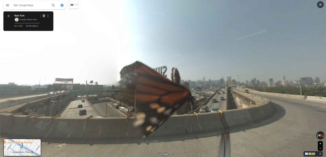
Butterfly in NYC Animals USA September 30, 2024September 30, 2024 by Bruno 902 Bruno 902 · Reply Link
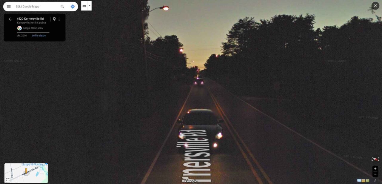
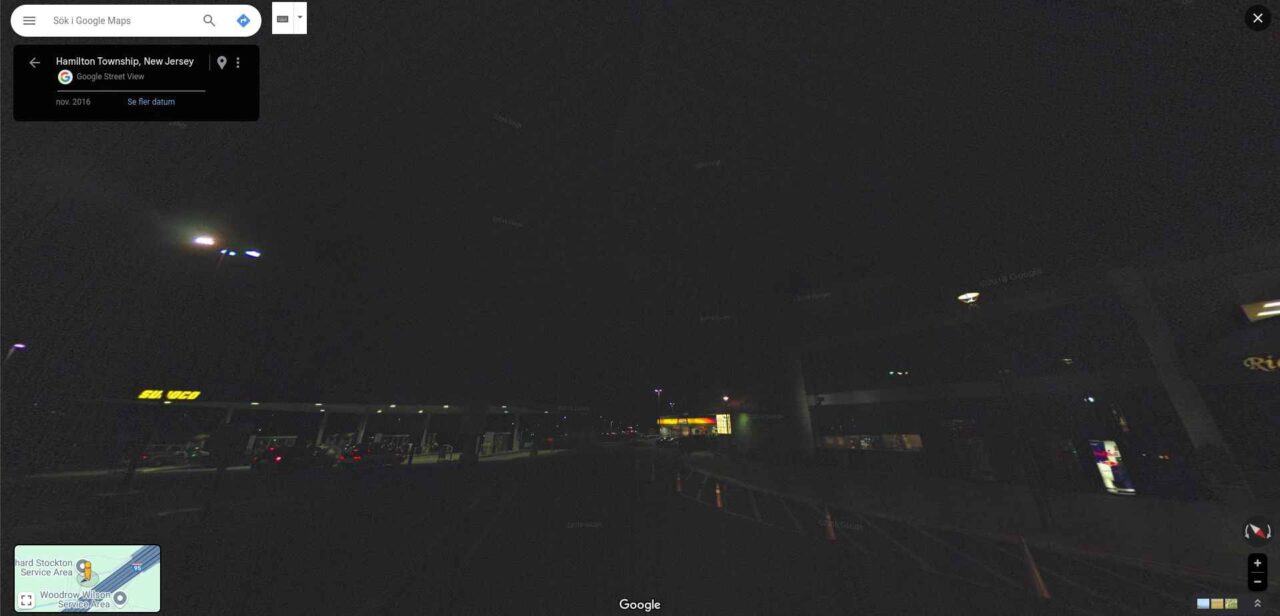
Hamilton Township, New Jersey at night USA September 30, 2024September 30, 2024 by Bruno 902 Bruno 902 · Reply Link