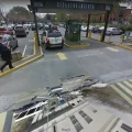
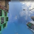
Starting at this point the rural highway for the next 14 kms, streetview is made up of seemingly random but often repeating images of the streets of Matamata, a town some 60 kms away.
Perhaps the driver had lunch at the Hauraki tavern? 😉
Starting point – State Higway 2, Kerepehi to Ngatea, then along Pipiroa Road finishing at State Highway 25.



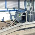
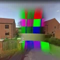


What are those purple flashes in the road? Is that a camera blob?
Just the sun on the lens.
no prob with the map….lol